



Sep
Discovering new places is all part of the fun of running. We work out where to go, which places we prefer, and those we would rather avoid. Over time, we also build up a detailed map of our local area that would perhaps only be bettered by the posties, taxi drivers and take-away deliverers. Much of this knowledge builds up gradually over time and we can create routes without always having to think too hard about it. Sometimes, though, we want to help the process along a little bit, and can do so by using technology designed for the purpose. This article aims to help you by looking at different technology you can use to create a running route.
Apps to help you create running routes
Before we dive in, please note, these aren’t endorsements and this isn’t a comprehensive list of every service out there, because new ones are always being added, or a manufacturer might drop a feature from their range. However, it does illustrate the kinds of products that are out there to give you some idea of what to look for.
Remember, there are thousands of fellow runners in our Facebook Chat Group, so if you’re wondering whether a watch or app is any good, it is likely there is someone in the group who has already tried it out. Pop a question in the group and see what the response is.
Here are some of the services we’ve spotted:
Garmin, Suunto, and Coros watches and their apps
If you have a GPS running watch, the associated phone app or online platform will probably have a route creation feature. Then, depending on the features on your watch, it may be able to provide turn-by-turn, or full map navigation on your wrist. If not, you can carry your phone and look at the route on the app as you run.
Garmin route creation
The Garmin Connect app and web platform have a cool feature where you can choose start and end points, and specify a distance, and it will create a route automatically. If you’d rather have more choice, there’s also a manual mode where you can tap on the map to add waypoints.
Suunto route creation
Within the Suunto app, there is a semi-manual route creation mode, where you select the start point and add waypoints. There are filters to help you decide where to go, such as a heatmap displaying popular routes. Then, send the route to your watch.
Coros route creation
Similar to Garmin and Suunto, Coros also have a route creation function on their app, which can be found via the Explore button. It’s the now-classic “tap the start and waypoints” method, with the lines in-between automatically generated by the internal data on what paths there are. Send the route to your watch to receive turn-by-turn instructions.
Strava, Komoot and OS Maps
You don’t need to use your watch’s app to create a route. There are a few services that provide the ability to map out a route online – either through a website or app – and then send it to a compatible phone or watch to help you navigate, either by displaying a map, giving audible turn-by-turn directions, or both, depending on the features your watch has.
Each of them do things slightly differently, so you may wish to play around with them to decide which you prefer.
Strava route creation
Strava is a practical choice, as there’s a good chance you’re already using it to log your runs: so you may as well use it to plan them, too. A premium subscription is required for all the features, but it’s easy to build routes. Select the parameters, such as preferred surface and elevation, add waypoints, and Strava will fill in the gaps to build you a route. Strava’s global heatmap feature is a handy way of seeing which are the most popular places to run.
Plus, you could always ask your fellow Goats for their favourite routes in our Strava Club, here: LINK
Komoot route creation
Most of these services use variations on a theme: add waypoints, and the service will use other data to suggest a route. What makes Komoot a little different is that users have the option to share highlights. This is a useful feature if you are running in a new place and want to see what’s worth running past. Just look on the map and you can see the areas that other users have enjoyed.
OS Maps route creation
In the UK, the Ordnance Survey produces maps that cover the whole country. They are available in paper format (great for laying out on your living room floor and planning adventures) and online and in an app, as OS Maps. It’s the level of mapping detail that makes OS Maps worth having a look at, including colour coded roads and paths, icons to show landscape features, and contours.
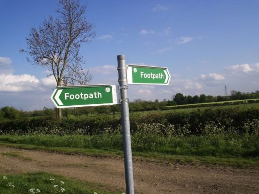
Fine, dashed lines in woodland and open spaces show the existence of paths, but these may not always be accessible to the public. To be certain that you can run somewhere, look for dotted green lines (public footpaths), dashed green lines (public bridleways), dotted orange lines (permitted footpaths) and dashed orange lines (permitted bridleways). These are all open to runners and are a great place to start when exploring.
Icons on the maps show useful features, such as car parks, pubs, phone boxes, or landmarks like towers and churches. They’ll also indicate whether an area is a woodland or a swamp, for example, which can help prevent disasters.
Contour lines (the faint orange, squiggly lines) tell you how big and steep the hills are. A lot of contour lines bunched closely together indicate a steep hill, whereas widely spaced contours (or no contours at all) show flatter land.
Ask a friend for their favourite running route
This is a simple tip:
- If you’re not sure where to run, ask someone who might know.
This could be a friend or neighbour who runs a lot, someone who has lived in the area longer than you, or possibly someone whose job requires them to know all the hidden routes you might not be aware of (such as a postie, taxi driver, or secret agent).
If you’re running somewhere new (if you’re on holiday, for example), then ask hotel reception staff, or see if anyone in the Lonely Goat Chat Group has any suggestions.
Get involved in the conversation at the Chat Group, here: LINK
+++
nb: This post covers some of the information included in two previous posts: ‘Finding new routes,’ and ‘How to find trail running routes.’